CARTOGRAPHY

Maps from the book

The island and town maps from The Jersey Syndicate. Read each plate below or open its full-size image.

01
Landscape book map of fictional Jersey in October 1964, with parishes, numbered places, the inland Reserve, checkpoints and a bilingual key.

Jersey from the novel

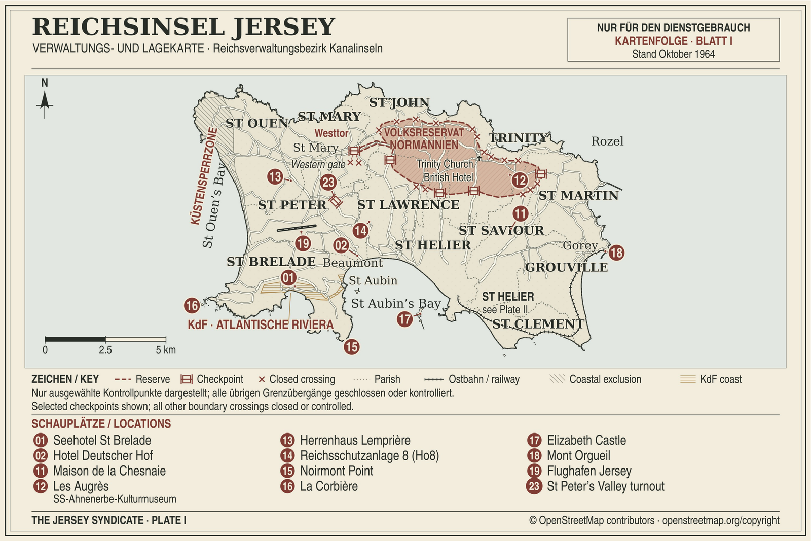
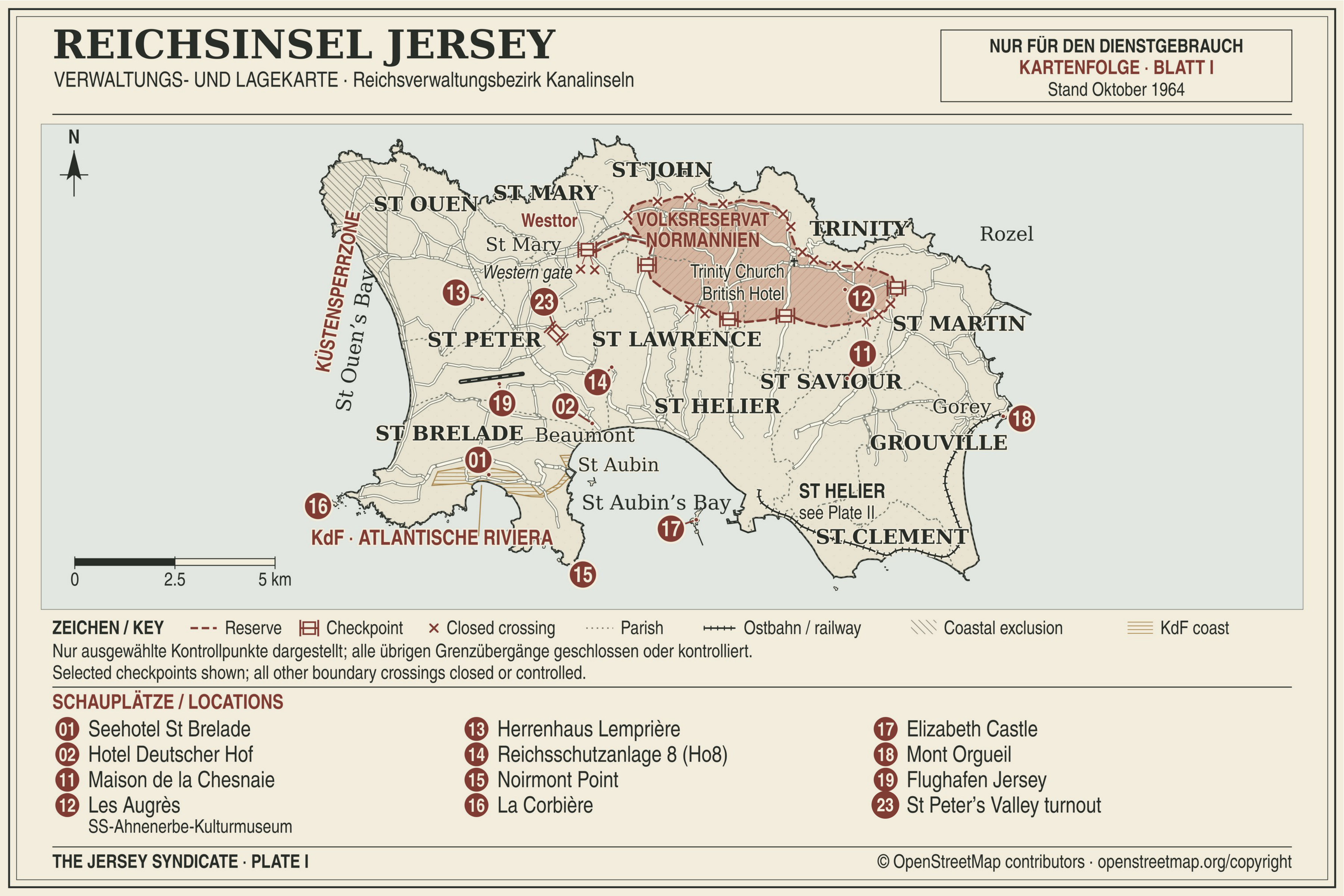
Plate I from The Jersey Syndicate. The fictional administrative map of Jersey in October 1964. Original labels, key and numbering are retained.

The plate shows the island coast, twelve parishes, St Brelade’s Bay, St Aubin’s Bay, the airport and numbered locations. Its printed key explains the Reserve, checkpoints, closed crossings, parish divisions, railway, coastal exclusion and KdF coast. The numbers are the book’s location references; they are not exhibition numbers. These are fictional arrangements for the novel, not present-day travel directions.

© OpenStreetMap contributors. Base-map credit is retained in the book artwork. OpenStreetMap attribution
02
Landscape book map of fictional St Helier in October 1964, with a harbour inset, Fort Regent, roads, institutions, hotels and a numbered location key.

St Helier from the novel

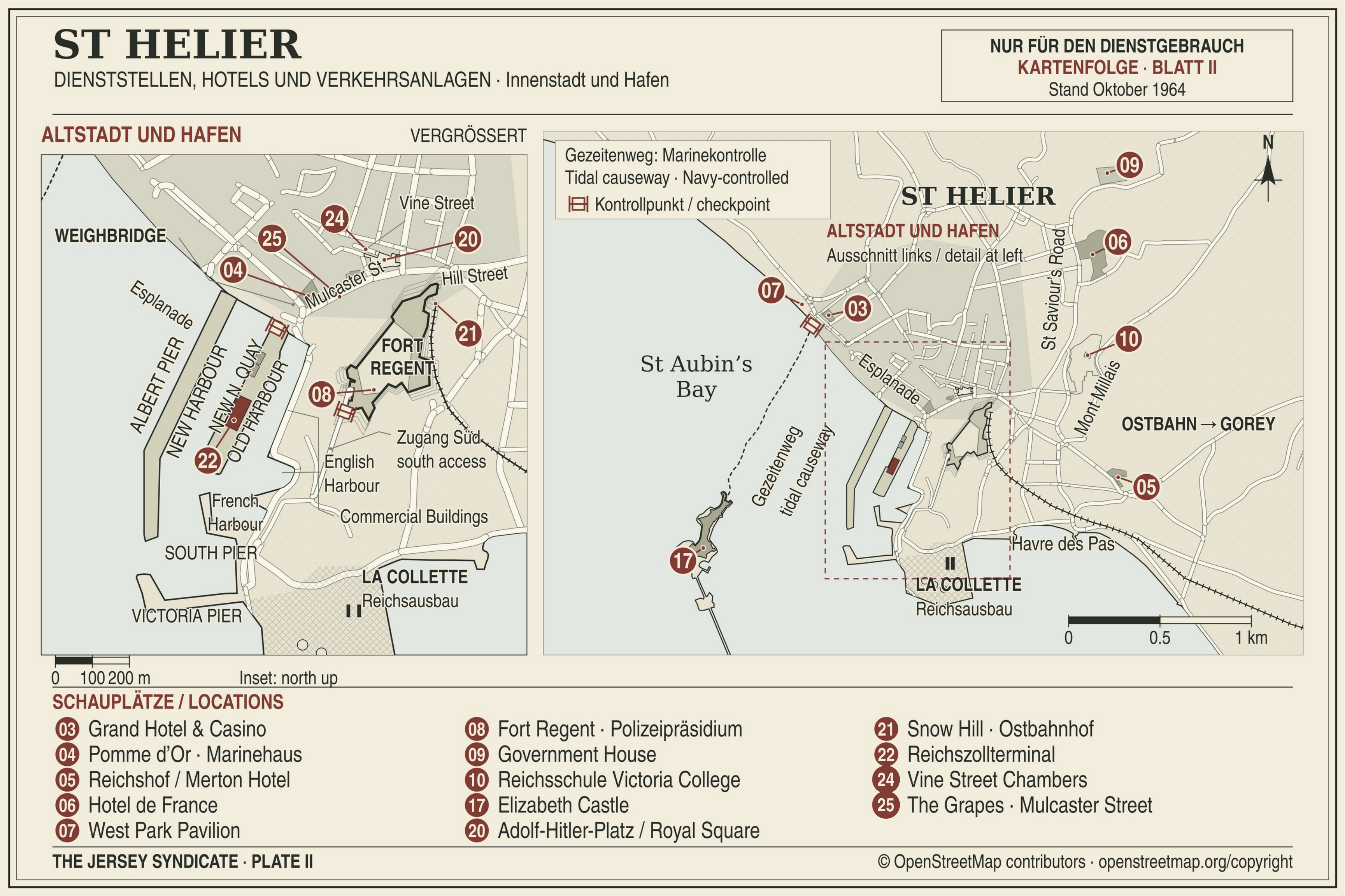
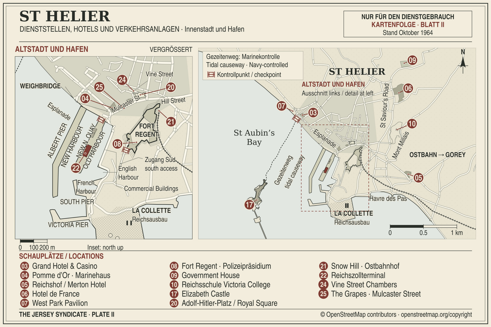
Plate II from The Jersey Syndicate. The fictional town and harbour sheet for October 1964, including its enlarged inset. Original labels and numbering are retained.

The left inset enlarges the old town and harbour. The wider sheet includes the Esplanade, Fort Regent, Havre des Pas, Government House, Victoria College, hotel locations and the railway toward Gorey. A bilingual panel identifies the tidal causeway and checkpoint. The printed location list and scales accompany the map.

© OpenStreetMap contributors. Base-map credit is retained in the book artwork. OpenStreetMap attribution